North of the abbey in Selby
Introduction
The photograph on this page of North of the abbey in Selby by Gordon Hatton as part of the Geograph project.
The Geograph project started in 2005 with the aim of publishing, organising and preserving representative images for every square kilometre of Great Britain, Ireland and the Isle of Man.

There are currently over 7.5m images from over 14,400 individuals and you can help contribute to the project by visiting https://www.geograph.org.uk
North of the abbey in Selby
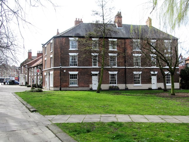
Image: © Gordon Hatton Taken: 10 Apr 2016
The green area outside the abbey churchyard on the north side was used as a cholera burial ground in 1848/9, but the rather handsome house on the far side looks slightly earlier at around 1830.
Images are licensed for reuse under creativecommons.org/licenses/by-sa/2.0
Image Location
Latitude
53.784298
Longitude
-1.067789