Manworthy Mill
Introduction
The photograph on this page of Manworthy Mill by Derek Harper as part of the Geograph project.
The Geograph project started in 2005 with the aim of publishing, organising and preserving representative images for every square kilometre of Great Britain, Ireland and the Isle of Man.

There are currently over 7.5m images from over 14,400 individuals and you can help contribute to the project by visiting https://www.geograph.org.uk
Manworthy Mill
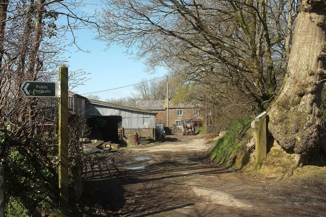
Image: © Derek Harper Taken: 23 Apr 2016
On a bend on the road to the new livestock market. The footpath indicated on the left, Holsworthy Hamlets Footpath 9 (shown in Image]), manages four sharp bends in its zigzag course of less than 600 metres.
Images are licensed for reuse under creativecommons.org/licenses/by-sa/2.0
Image Location
Latitude
50.822397
Longitude
-4.362404