Under Lowfield Lane
Introduction
The photograph on this page of Under Lowfield Lane by Richard Law as part of the Geograph project.
The Geograph project started in 2005 with the aim of publishing, organising and preserving representative images for every square kilometre of Great Britain, Ireland and the Isle of Man.

There are currently over 7.5m images from over 14,400 individuals and you can help contribute to the project by visiting https://www.geograph.org.uk
Under Lowfield Lane
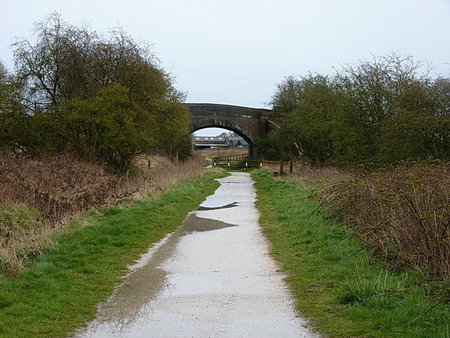
Image: © Richard Law Taken: 9 Apr 2016
The Way for the Millennium takes a bit of a kink as it passes under the bridge carrying Lowfield Lane to Springfield Farm.
Images are licensed for reuse under creativecommons.org/licenses/by-sa/2.0
Image Location
Latitude
52.780651
Longitude
-2.248283