Lay-by north of Jewell's Cross
Introduction
The photograph on this page of Lay-by north of Jewell's Cross by David Smith as part of the Geograph project.
The Geograph project started in 2005 with the aim of publishing, organising and preserving representative images for every square kilometre of Great Britain, Ireland and the Isle of Man.

There are currently over 7.5m images from over 14,400 individuals and you can help contribute to the project by visiting https://www.geograph.org.uk
Lay-by north of Jewell's Cross
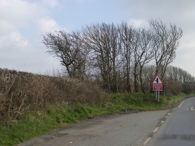
Image: © David Smith Taken: 15 Apr 2016
The line of trees at the end of the lay-by are the boundary of a small, oddly-shaped field. Old maps show that the lay-by (or equivalent) was there at the end of the 19th century
Images are licensed for reuse under creativecommons.org/licenses/by-sa/2.0
Image Location
Latitude
50.802588
Longitude
-4.463453