Lane to Holsworthy
Introduction
The photograph on this page of Lane to Holsworthy by Derek Harper as part of the Geograph project.
The Geograph project started in 2005 with the aim of publishing, organising and preserving representative images for every square kilometre of Great Britain, Ireland and the Isle of Man.

There are currently over 7.5m images from over 14,400 individuals and you can help contribute to the project by visiting https://www.geograph.org.uk
Lane to Holsworthy
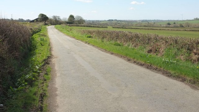
Image: © Derek Harper Taken: 23 Apr 2016
From Blagdonmoor Cross. The farm at South Blagdon is just past the bend. The roofs and church tower of Holsworthy can perhaps be seen (about 3 km away) at larger sizes.
Images are licensed for reuse under creativecommons.org/licenses/by-sa/2.0
Image Location


Leaflet Map data © OpenStreetMap
Latitude
50.829704
Longitude
-4.321021