Path east of Willow Avenue
Introduction
The photograph on this page of Path east of Willow Avenue by Stephen Craven as part of the Geograph project.
The Geograph project started in 2005 with the aim of publishing, organising and preserving representative images for every square kilometre of Great Britain, Ireland and the Isle of Man.

There are currently over 7.5m images from over 14,400 individuals and you can help contribute to the project by visiting https://www.geograph.org.uk
Path east of Willow Avenue
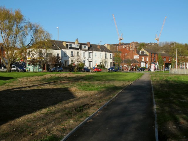
Image: © Stephen Craven Taken: 20 Apr 2016
The path links the Willow Avenue housing development to Burley Road. In the pre-war layout this would have been Lloyd Street and the houses either side.
Images are licensed for reuse under creativecommons.org/licenses/by-sa/2.0
Image Location
Latitude
53.804588
Longitude
-1.570706