Nineteenth century benchmark on wall
Introduction
The photograph on this page of Nineteenth century benchmark on wall by Shantavira as part of the Geograph project.
The Geograph project started in 2005 with the aim of publishing, organising and preserving representative images for every square kilometre of Great Britain, Ireland and the Isle of Man.

There are currently over 7.5m images from over 14,400 individuals and you can help contribute to the project by visiting https://www.geograph.org.uk
Nineteenth century benchmark on wall
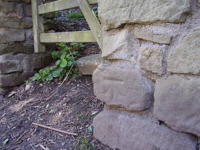
Image: © Shantavira Taken: 23 Apr 2016
This benchmark was established in 1849 during the First primary levelling of England & Wales, and was levelled with a height of 188.1030 feet [57.3338 metres] above mean sea level (Liverpool datum). It was included on the Worcester to Aberystwyth levelling line. The surveyor's description was "No. 45. Mark on stone wall at South side of road, near junction of fence ; 1.26ft. above surface" (Public Abstract p.551). The rather worn mark is easily found to the west of a small gate.
Images are licensed for reuse under creativecommons.org/licenses/by-sa/2.0
Image Location
Latitude
52.375115
Longitude
-2.324294