Lane to Cookbury
Introduction
The photograph on this page of Lane to Cookbury by Derek Harper as part of the Geograph project.
The Geograph project started in 2005 with the aim of publishing, organising and preserving representative images for every square kilometre of Great Britain, Ireland and the Isle of Man.

There are currently over 7.5m images from over 14,400 individuals and you can help contribute to the project by visiting https://www.geograph.org.uk
Lane to Cookbury
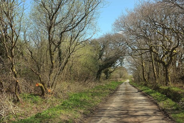
Image: © Derek Harper Taken: 23 Apr 2016
Passing a small patch of woodland near Westway Farm, and followed by NCN3.
Images are licensed for reuse under creativecommons.org/licenses/by-sa/2.0
Image Location
Latitude
50.830277
Longitude
-4.269073