Allowenshay
Introduction
The photograph on this page of Allowenshay by Derek Harper as part of the Geograph project.
The Geograph project started in 2005 with the aim of publishing, organising and preserving representative images for every square kilometre of Great Britain, Ireland and the Isle of Man.

There are currently over 7.5m images from over 14,400 individuals and you can help contribute to the project by visiting https://www.geograph.org.uk
Allowenshay
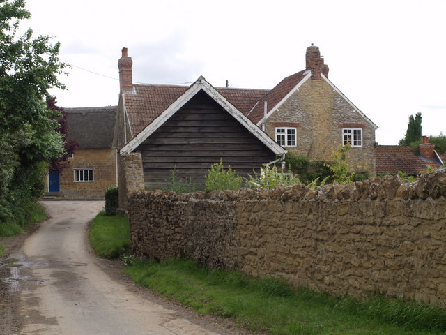
Image: © Derek Harper Taken: 10 Jul 2007
An attractive hamlet of stone cottages tucked away down lanes southeast of Ilminster. See http://webapp1.somerset.gov.uk/her/details.asp?prn=54117 for historical notes.
Images are licensed for reuse under creativecommons.org/licenses/by-sa/2.0
Image Location


Leaflet Map data © OpenStreetMap
Latitude
50.915945
Longitude
-2.866263