Eastern end of Teignmouth railway station
Introduction
The photograph on this page of Eastern end of Teignmouth railway station by Jaggery as part of the Geograph project.
The Geograph project started in 2005 with the aim of publishing, organising and preserving representative images for every square kilometre of Great Britain, Ireland and the Isle of Man.

There are currently over 7.5m images from over 14,400 individuals and you can help contribute to the project by visiting https://www.geograph.org.uk
Eastern end of Teignmouth railway station
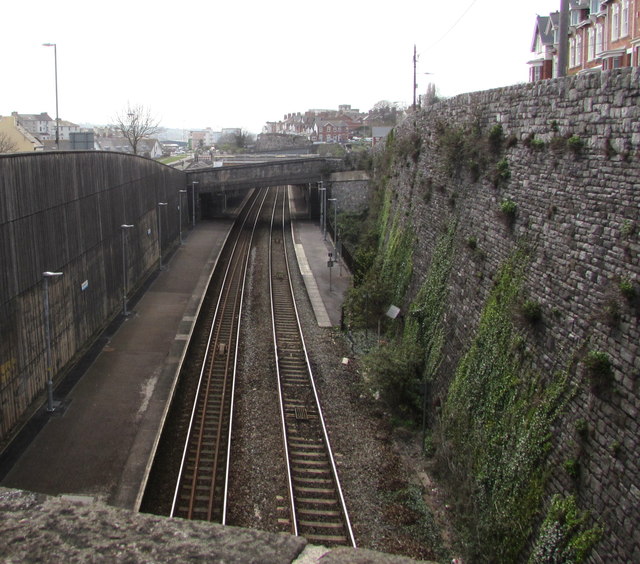
Image: © Jaggery Taken: 21 Apr 2016
Viewed from the A379 road bridge. The steep wall on the right is below Glendaragh Road.
Images are licensed for reuse under creativecommons.org/licenses/by-sa/2.0
Image Location


Leaflet Map data © OpenStreetMap
Latitude
50.548343
Longitude
-3.493684