River Parrett from Coombe Bridge
Introduction
The photograph on this page of River Parrett from Coombe Bridge by Derek Harper as part of the Geograph project.
The Geograph project started in 2005 with the aim of publishing, organising and preserving representative images for every square kilometre of Great Britain, Ireland and the Isle of Man.

There are currently over 7.5m images from over 14,400 individuals and you can help contribute to the project by visiting https://www.geograph.org.uk
River Parrett from Coombe Bridge
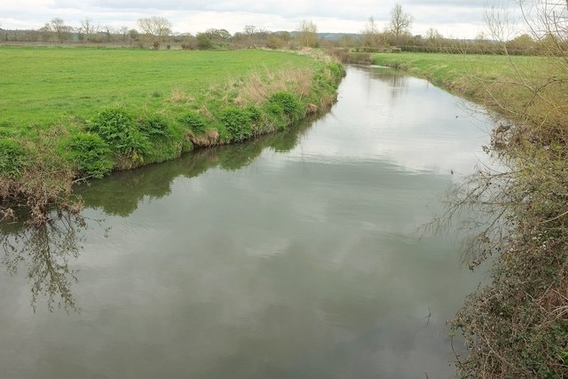
Image: © Derek Harper Taken: 16 Apr 2016
Looking upstream, with the river apparently rather larger than it looked at Thorney Bridge, a kilometre and a half downstream - see Image But perhaps it's deeper there. Footpath 40UD061 L 17/38 runs along the right bank, ie the left side in this view.
Images are licensed for reuse under creativecommons.org/licenses/by-sa/2.0
Image Location
Latitude
50.991729
Longitude
-2.80669