Field entrances between Pennard and Kittle
Introduction
The photograph on this page of Field entrances between Pennard and Kittle by Bill Boaden as part of the Geograph project.
The Geograph project started in 2005 with the aim of publishing, organising and preserving representative images for every square kilometre of Great Britain, Ireland and the Isle of Man.

There are currently over 7.5m images from over 14,400 individuals and you can help contribute to the project by visiting https://www.geograph.org.uk
Field entrances between Pennard and Kittle
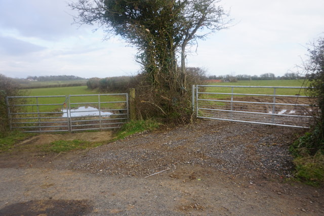
Image: © Bill Boaden Taken: 4 Apr 2016
Waterlogging is obviously an issue at the entrance to both fields. Much of inland Gower is fairly unremarkable.
Images are licensed for reuse under creativecommons.org/licenses/by-sa/2.0
Image Location


Leaflet Map data © OpenStreetMap
Latitude
51.581047
Longitude
-4.064662