Central Hill Estate, SE19: Vicars Oak Road
Introduction
The photograph on this page of Central Hill Estate, SE19: Vicars Oak Road by Christopher Hilton as part of the Geograph project.
The Geograph project started in 2005 with the aim of publishing, organising and preserving representative images for every square kilometre of Great Britain, Ireland and the Isle of Man.

There are currently over 7.5m images from over 14,400 individuals and you can help contribute to the project by visiting https://www.geograph.org.uk
Central Hill Estate, SE19: Vicars Oak Road
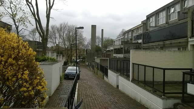
Image: © Christopher Hilton Taken: 22 Apr 2016
Five London Boroughs meet on the hill at Upper Norwood, reflecting an earlier meeting of five parishes: the point at which the parish boundaries met, some few hundred yards east of this estate, was marked by a tree known as the Vicar's Oak, to which this street name nods.
Images are licensed for reuse under creativecommons.org/licenses/by-sa/2.0
Image Location
Latitude
51.420372
Longitude
-0.084596