
Restricted byway, Thorney
Introduction
The photograph on this page of Restricted byway, Thorney by Derek Harper as part of the Geograph project.
The Geograph project started in 2005 with the aim of publishing, organising and preserving representative images for every square kilometre of Great Britain, Ireland and the Isle of Man.

There are currently over 7.5m images from over 14,400 individuals and you can help contribute to the project by visiting https://www.geograph.org.uk
Restricted byway, Thorney
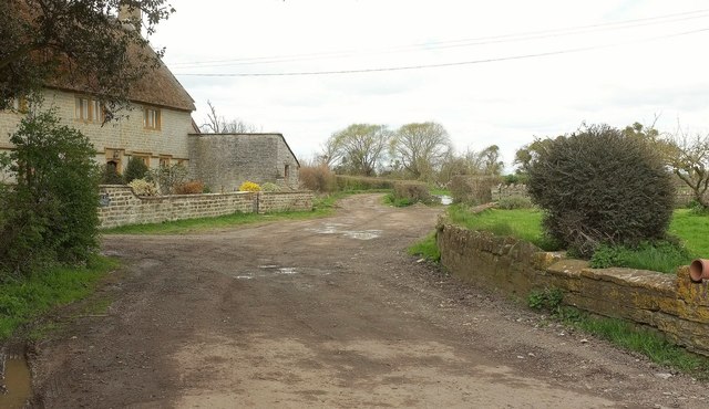
Image: © Derek Harper Taken: 16 Apr 2016
Restricted by nature of its short length as well the type of traffic that is allowed. Restricted byways have an irritating habit in this area of ending after a short distance before they have reached anywhere very useful. This one, number 40UD079 L 22/13, goes just over 200 metres before giving up on the edge of Thorney Moor. At least the one on the other side of the road manages to turn into a footpath to another road. On the left is Thorney West Farmhouse, listed and described at https://www.historicengland.org.uk/listing/the-list/list-entry/1056542 .
Images are licensed for reuse under creativecommons.org/licenses/by-sa/2.0
Image Location

Latitude
51.008215
Longitude
-2.815385