Path on the edge of Pennard Burrows
Introduction
The photograph on this page of Path on the edge of Pennard Burrows by Bill Boaden as part of the Geograph project.
The Geograph project started in 2005 with the aim of publishing, organising and preserving representative images for every square kilometre of Great Britain, Ireland and the Isle of Man.

There are currently over 7.5m images from over 14,400 individuals and you can help contribute to the project by visiting https://www.geograph.org.uk
Path on the edge of Pennard Burrows
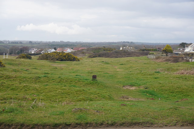
Image: © Bill Boaden Taken: 4 Apr 2016
Now also on the edge of Southgate, where housing has been spreading.
Images are licensed for reuse under creativecommons.org/licenses/by-sa/2.0
Image Location
Latitude
51.5762
Longitude
-4.089554