Small bridge for A39 north of Bush
Introduction
The photograph on this page of Small bridge for A39 north of Bush by David Smith as part of the Geograph project.
The Geograph project started in 2005 with the aim of publishing, organising and preserving representative images for every square kilometre of Great Britain, Ireland and the Isle of Man.

There are currently over 7.5m images from over 14,400 individuals and you can help contribute to the project by visiting https://www.geograph.org.uk
Small bridge for A39 north of Bush
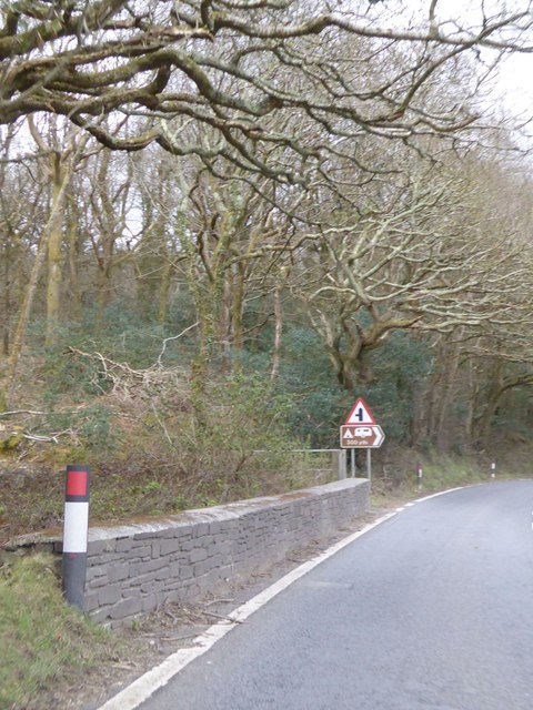
Image: © David Smith Taken: 14 Apr 2016
This crosses a small stream running from Ivyleaf Hill. The junction that is signed is for the former route of what became the A39 (see Image])
Images are licensed for reuse under creativecommons.org/licenses/by-sa/2.0
Image Location
Latitude
50.84696
Longitude
-4.508411