Road A56
Introduction
The photograph on this page of Road A56 by Dave Smethurst as part of the Geograph project.
The Geograph project started in 2005 with the aim of publishing, organising and preserving representative images for every square kilometre of Great Britain, Ireland and the Isle of Man.

There are currently over 7.5m images from over 14,400 individuals and you can help contribute to the project by visiting https://www.geograph.org.uk
Road A56
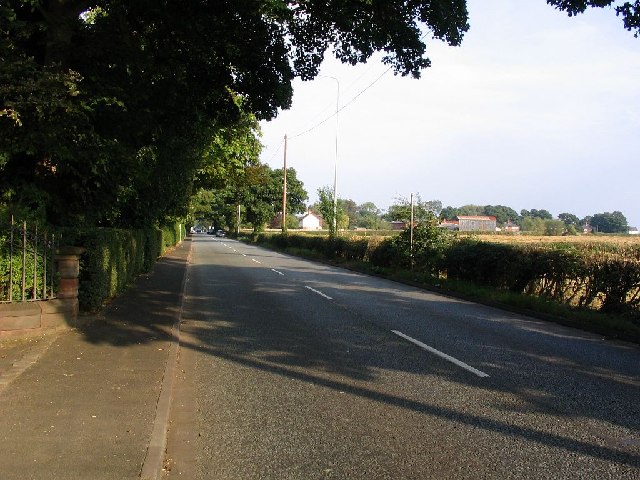
Image: © Dave Smethurst Taken: 3 Sep 2005
This picture taken from SJ-70253-86075 shows the A56 running easterly towards Broomedge. The A56 is one of the major routes in this area.
Images are licensed for reuse under creativecommons.org/licenses/by-sa/2.0
Image Location
Latitude
53.370016
Longitude
-2.449335