Wrinstone House
Introduction
The photograph on this page of Wrinstone House by Alan Hughes as part of the Geograph project.
The Geograph project started in 2005 with the aim of publishing, organising and preserving representative images for every square kilometre of Great Britain, Ireland and the Isle of Man.

There are currently over 7.5m images from over 14,400 individuals and you can help contribute to the project by visiting https://www.geograph.org.uk
Wrinstone House
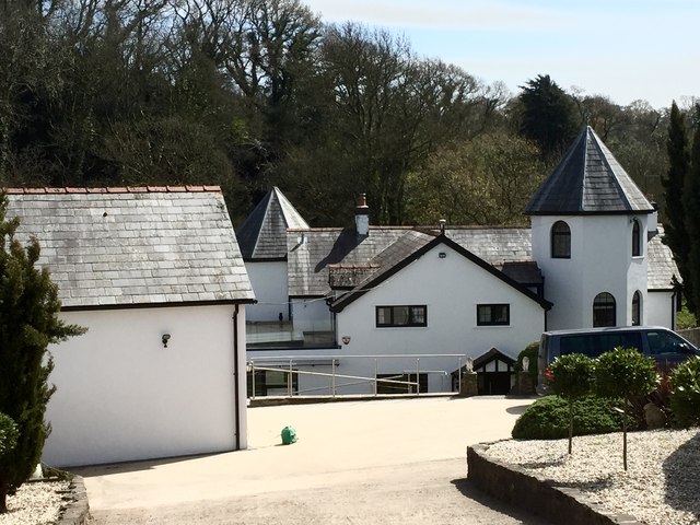
Image: © Alan Hughes Taken: 20 Apr 2016
Wrinstone House was built in 1880 on the site of an earlier gamekeeper's cottage. A manor was held in this area from the early Norman period.
Images are licensed for reuse under creativecommons.org/licenses/by-sa/2.0
Image Location
Latitude
51.446142
Longitude
-3.243775