Pasture
Introduction
The photograph on this page of Pasture by Dave Smethurst as part of the Geograph project.
The Geograph project started in 2005 with the aim of publishing, organising and preserving representative images for every square kilometre of Great Britain, Ireland and the Isle of Man.

There are currently over 7.5m images from over 14,400 individuals and you can help contribute to the project by visiting https://www.geograph.org.uk
Pasture
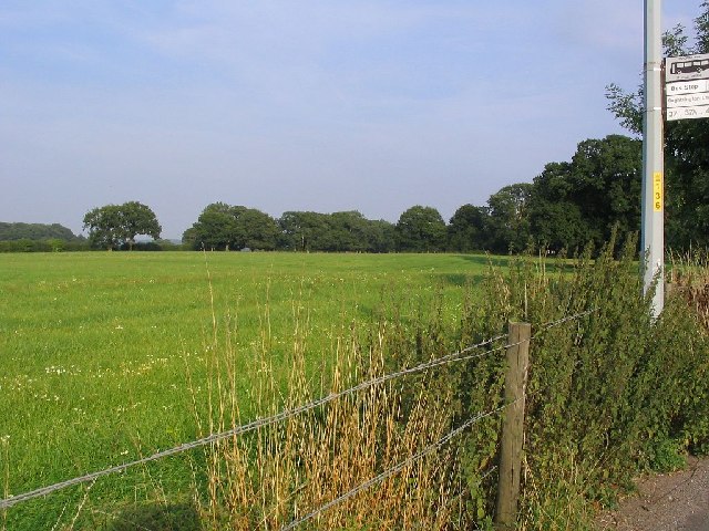
Image: © Dave Smethurst Taken: 3 Sep 2005
This image taken from SJ-69476-86371 looks east across farmland. The bus stop can be seen on the righthand side of the picture.
Images are licensed for reuse under creativecommons.org/licenses/by-sa/2.0
Image Location


Leaflet Map data © OpenStreetMap
Latitude
53.372667
Longitude
-2.461387