Brentford
Introduction
The photograph on this page of Brentford by Peter Trimming as part of the Geograph project.
The Geograph project started in 2005 with the aim of publishing, organising and preserving representative images for every square kilometre of Great Britain, Ireland and the Isle of Man.

There are currently over 7.5m images from over 14,400 individuals and you can help contribute to the project by visiting https://www.geograph.org.uk
Brentford
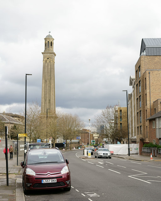
Image: © Peter Trimming Taken: 16 Apr 2016
High Street; looking towards the tower of the former Kew Bridge Water Works, now the London Museum of Water & Steam.
Images are licensed for reuse under creativecommons.org/licenses/by-sa/2.0
Image Location
Latitude
51.488048
Longitude
-0.291628