C2C at Bill Quay
Introduction
The photograph on this page of C2C at Bill Quay by Oliver Dixon as part of the Geograph project.
The Geograph project started in 2005 with the aim of publishing, organising and preserving representative images for every square kilometre of Great Britain, Ireland and the Isle of Man.

There are currently over 7.5m images from over 14,400 individuals and you can help contribute to the project by visiting https://www.geograph.org.uk
C2C at Bill Quay
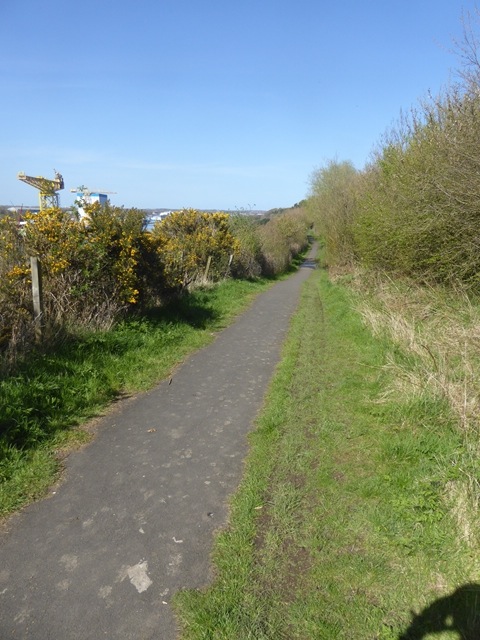
Image: © Oliver Dixon Taken: 19 Apr 2016
The C2C National Cycle Network route 14 splits into three strands at the eastern end. This one follows the south bank of the Tyne from Newcastle to South Shields. The crane on the left is on the far side of the River Tyne.
Images are licensed for reuse under creativecommons.org/licenses/by-sa/2.0
Image Location
Latitude
54.963617
Longitude
-1.53408