Farmland near Cranwell
Introduction
The photograph on this page of Farmland near Cranwell by Kate Jewell as part of the Geograph project.
The Geograph project started in 2005 with the aim of publishing, organising and preserving representative images for every square kilometre of Great Britain, Ireland and the Isle of Man.

There are currently over 7.5m images from over 14,400 individuals and you can help contribute to the project by visiting https://www.geograph.org.uk
Farmland near Cranwell
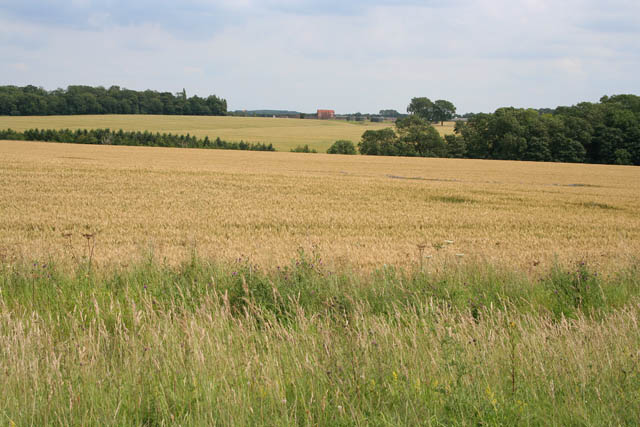
Image: © Kate Jewell Taken: 10 Jul 2007
The buildings on the horizon are part of the RAF College at Cranwell. On the right is Reeve's Plantation and on the horizon to the left is Lord Bristol's Plantation. The photograph was taken from the Viking Way which follows, at this point, the old Roman route of Ermine Street, now known as High Dyke.
Images are licensed for reuse under creativecommons.org/licenses/by-sa/2.0
Image Location
Latitude
53.043355
Longitude
-0.511959