Housing between the A1031 and the A1098: aerial 2016
Introduction
The photograph on this page of Housing between the A1031 and the A1098: aerial 2016 by Chris as part of the Geograph project.
The Geograph project started in 2005 with the aim of publishing, organising and preserving representative images for every square kilometre of Great Britain, Ireland and the Isle of Man.

There are currently over 7.5m images from over 14,400 individuals and you can help contribute to the project by visiting https://www.geograph.org.uk
Housing between the A1031 and the A1098: aerial 2016
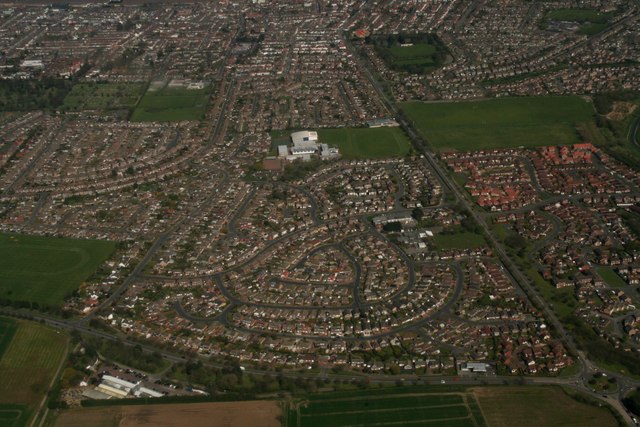
Image: © Chris Taken: 19 Apr 2016
Pennell's Garden Centre bottom left.
Images are licensed for reuse under creativecommons.org/licenses/by-sa/2.0
Image Location
Latitude
53.545878
Longitude
-0.044154