Under the motorways
Introduction
The photograph on this page of Under the motorways by Richard Sutcliffe as part of the Geograph project.
The Geograph project started in 2005 with the aim of publishing, organising and preserving representative images for every square kilometre of Great Britain, Ireland and the Isle of Man.

There are currently over 7.5m images from over 14,400 individuals and you can help contribute to the project by visiting https://www.geograph.org.uk
Under the motorways
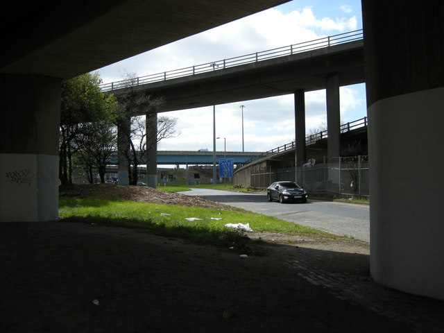
Image: © Richard Sutcliffe Taken: 19 Apr 2016
The two nearest fly-overs are the slip roads off and onto the M8 at Junction 20. The fly-over in the distance is a section of the M74.
Images are licensed for reuse under creativecommons.org/licenses/by-sa/2.0
Image Location
Latitude
55.852354
Longitude
-4.270539