Approach to the Ridgeway
Introduction
The photograph on this page of Approach to the Ridgeway by Marathon as part of the Geograph project.
The Geograph project started in 2005 with the aim of publishing, organising and preserving representative images for every square kilometre of Great Britain, Ireland and the Isle of Man.

There are currently over 7.5m images from over 14,400 individuals and you can help contribute to the project by visiting https://www.geograph.org.uk
Approach to the Ridgeway
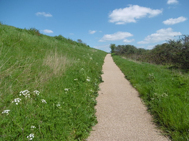
Image: © Marathon Taken: 19 Apr 2016
The Ridgeway is a raised footpath from Plumstead station to Crossness which follows the embankment containing the Southern Outfall Sewer on its way to Crossness Sewage Treatment Works. This ramp leads up from White Hart Road to the top of the Ridgeway.
Images are licensed for reuse under creativecommons.org/licenses/by-sa/2.0
Image Location
Latitude
51.491883
Longitude
0.093139