East Wickham Open Space
Introduction
The photograph on this page of East Wickham Open Space by Marathon as part of the Geograph project.
The Geograph project started in 2005 with the aim of publishing, organising and preserving representative images for every square kilometre of Great Britain, Ireland and the Isle of Man.

There are currently over 7.5m images from over 14,400 individuals and you can help contribute to the project by visiting https://www.geograph.org.uk
East Wickham Open Space
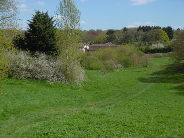
Image: © Marathon Taken: 19 Apr 2016
This former landfill site is now a fine open space on the borders of Plumstead and Welling. Here Bostall Woods are on the left hand skyline while Plumstead Cemetery is to the right in the distance.
Images are licensed for reuse under creativecommons.org/licenses/by-sa/2.0
Image Location
Latitude
51.47509
Longitude
0.106915