The Cut, Rochester
Introduction
The photograph on this page of The Cut, Rochester by Chris Whippet as part of the Geograph project.
The Geograph project started in 2005 with the aim of publishing, organising and preserving representative images for every square kilometre of Great Britain, Ireland and the Isle of Man.

There are currently over 7.5m images from over 14,400 individuals and you can help contribute to the project by visiting https://www.geograph.org.uk
The Cut, Rochester
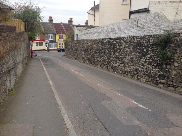
Image: © Chris Whippet Taken: 18 Apr 2016
Running between City Way and Delce Road, this used to be the northern end of Pattens Lane before City Way was constructed in the 1930s.
Images are licensed for reuse under creativecommons.org/licenses/by-sa/2.0
Image Location
Latitude
51.382648
Longitude
0.508384