Stirling Road at West Dunbartonshire Council Offices
Introduction
The photograph on this page of Stirling Road at West Dunbartonshire Council Offices by Richard Cooke as part of the Geograph project.
The Geograph project started in 2005 with the aim of publishing, organising and preserving representative images for every square kilometre of Great Britain, Ireland and the Isle of Man.

There are currently over 7.5m images from over 14,400 individuals and you can help contribute to the project by visiting https://www.geograph.org.uk
Stirling Road at West Dunbartonshire Council Offices
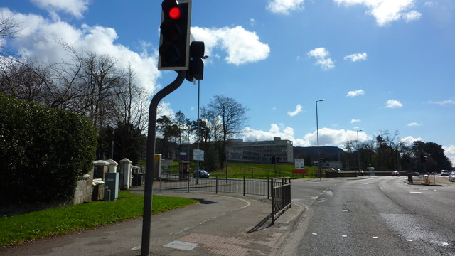
Image: © Richard Cooke Taken: 9 Apr 2016
West Dunbartonshire Council's offices are visible straight ahead. There is an entrance to Dumbarton Cemetery on the left.
Images are licensed for reuse under creativecommons.org/licenses/by-sa/2.0
Image Location
Latitude
55.949532
Longitude
-4.549491