A3072 west of Highampton
Introduction
The photograph on this page of A3072 west of Highampton by David Smith as part of the Geograph project.
The Geograph project started in 2005 with the aim of publishing, organising and preserving representative images for every square kilometre of Great Britain, Ireland and the Isle of Man.

There are currently over 7.5m images from over 14,400 individuals and you can help contribute to the project by visiting https://www.geograph.org.uk
A3072 west of Highampton
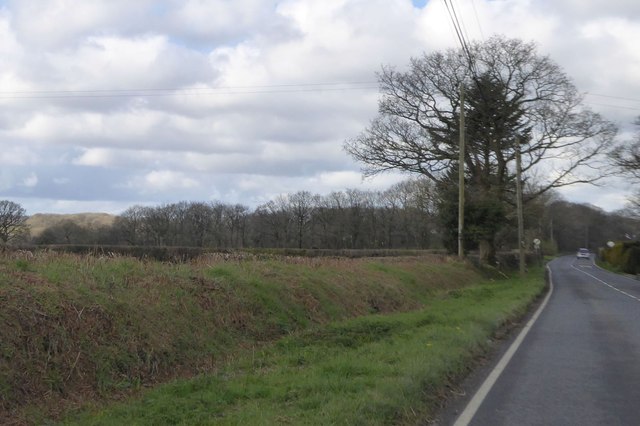
Image: © David Smith Taken: 14 Apr 2016
Approaching the end of the 30mph speed limit zone; on the left deep ditch and bank at the roadside bordering fields which slope south to a small stream
Images are licensed for reuse under creativecommons.org/licenses/by-sa/2.0
Image Location
Latitude
50.817268
Longitude
-4.158413