Lewmoor Plantation by the A3072
Introduction
The photograph on this page of Lewmoor Plantation by the A3072 by David Smith as part of the Geograph project.
The Geograph project started in 2005 with the aim of publishing, organising and preserving representative images for every square kilometre of Great Britain, Ireland and the Isle of Man.

There are currently over 7.5m images from over 14,400 individuals and you can help contribute to the project by visiting https://www.geograph.org.uk
Lewmoor Plantation by the A3072
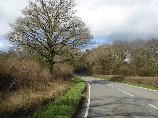
Image: © David Smith Taken: 14 Apr 2016
An area of woodland on both sides of the road. The eastern edge is a small stream, which is crossed by the bridge whose railings are just visible
Images are licensed for reuse under creativecommons.org/licenses/by-sa/2.0
Image Location
Latitude
50.811469
Longitude
-4.101649