View at Munsgore Farm
Introduction
The photograph on this page of View at Munsgore Farm by Marathon as part of the Geograph project.
The Geograph project started in 2005 with the aim of publishing, organising and preserving representative images for every square kilometre of Great Britain, Ireland and the Isle of Man.

There are currently over 7.5m images from over 14,400 individuals and you can help contribute to the project by visiting https://www.geograph.org.uk
View at Munsgore Farm
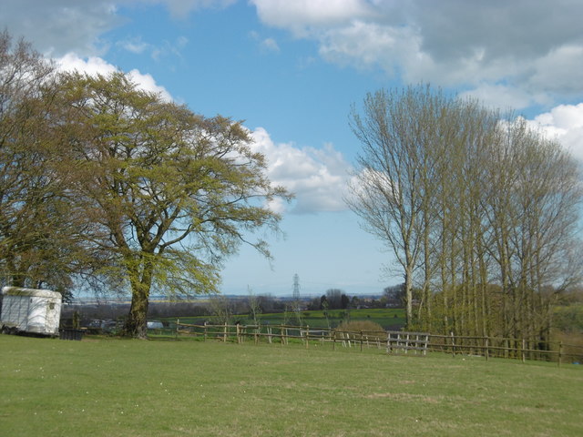
Image: © Marathon Taken: 17 Apr 2016
This is the view from the footpath from Oad Street and Sunnyhill Road as it approaches Munsgore Farm. The Isle of Sheppey is on the horizon to the left of the pylon while Whitstable is behind the pylon. There are a great number of horses in this area.
Images are licensed for reuse under creativecommons.org/licenses/by-sa/2.0
Image Location
Latitude
51.334317
Longitude
0.68435