Track to the Medway Valley Line
Introduction
The photograph on this page of Track to the Medway Valley Line by Marathon as part of the Geograph project.
The Geograph project started in 2005 with the aim of publishing, organising and preserving representative images for every square kilometre of Great Britain, Ireland and the Isle of Man.

There are currently over 7.5m images from over 14,400 individuals and you can help contribute to the project by visiting https://www.geograph.org.uk
Track to the Medway Valley Line
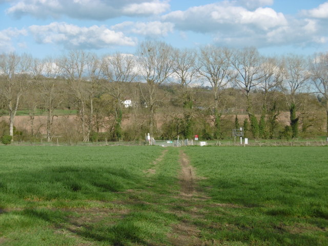
Image: © Marathon Taken: 17 Apr 2016
This view is from a layby next to the B2015 (Maidstone Road). The Medway Valley Line is just ahead beyond the gate, with Wateringbury to the left and Yalding to the right, and just beyond the line of trees the land dips down to the River Medway itself.
Images are licensed for reuse under creativecommons.org/licenses/by-sa/2.0
Image Location
Latitude
51.237714
Longitude
0.412236