The Caledonia Way, Benderloch
Introduction
The photograph on this page of The Caledonia Way, Benderloch by Jim Barton as part of the Geograph project.
The Geograph project started in 2005 with the aim of publishing, organising and preserving representative images for every square kilometre of Great Britain, Ireland and the Isle of Man.

There are currently over 7.5m images from over 14,400 individuals and you can help contribute to the project by visiting https://www.geograph.org.uk
The Caledonia Way, Benderloch
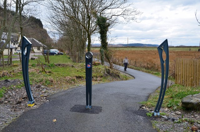
Image: © Jim Barton Taken: 13 Apr 2016
A cyclepath between Oban and Ballachulish, here on the route of the former railway.
Images are licensed for reuse under creativecommons.org/licenses/by-sa/2.0
Image Location
Latitude
56.48839
Longitude
-5.405553