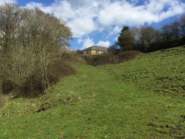
Iron Age Track
Introduction
The photograph on this page of Iron Age Track by Alan Hughes as part of the Geograph project.
The Geograph project started in 2005 with the aim of publishing, organising and preserving representative images for every square kilometre of Great Britain, Ireland and the Isle of Man.
There are currently over 7.5m images from over 14,400 individuals and you can help contribute to the project by visiting https://www.geograph.org.uk

Image: © Alan Hughes Taken: 17 Apr 2016
Iron Age track - or possibly later (Roman or medieval?) - leading from Llancarfan to the hill fort at Castle Ditches. The lane leading eastward from Llancarfan towards Brookwell continues as a footpath which follows the valley of Ffynnon Clwyf to a crossing point. On the far side of the stream the track rises steadily uphill towards the house on the skyline where it takes a sharp turn right towards the Iron Age settlement. The line of this continuation to the track can be clearly seen against the tree line to the right of the photograph.

