Pasture, Cwm Philkins, near Llys-pentwyn-uchaf
Introduction
The photograph on this page of Pasture, Cwm Philkins, near Llys-pentwyn-uchaf by M J Roscoe as part of the Geograph project.
The Geograph project started in 2005 with the aim of publishing, organising and preserving representative images for every square kilometre of Great Britain, Ireland and the Isle of Man.

There are currently over 7.5m images from over 14,400 individuals and you can help contribute to the project by visiting https://www.geograph.org.uk
Pasture, Cwm Philkins, near Llys-pentwyn-uchaf
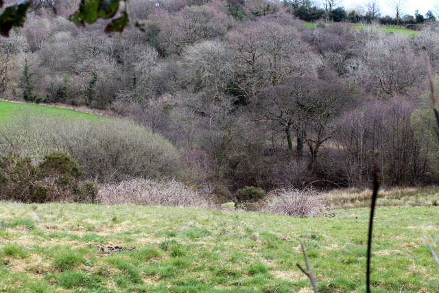
Image: © M J Roscoe Taken: 17 Apr 2016
Pasture, and woodland on the far side of Nant Philkins, near the head of Cwm Philkins. The woodland is part of the Coed Cwm Philkins Site of Importance for Nature Conservation.
Images are licensed for reuse under creativecommons.org/licenses/by-sa/2.0
Image Location
Latitude
51.673991
Longitude
-3.174372