Access Drive to Breckenbrough Hall School
Introduction
The photograph on this page of Access Drive to Breckenbrough Hall School by Chris Heaton as part of the Geograph project.
The Geograph project started in 2005 with the aim of publishing, organising and preserving representative images for every square kilometre of Great Britain, Ireland and the Isle of Man.

There are currently over 7.5m images from over 14,400 individuals and you can help contribute to the project by visiting https://www.geograph.org.uk
Access Drive to Breckenbrough Hall School
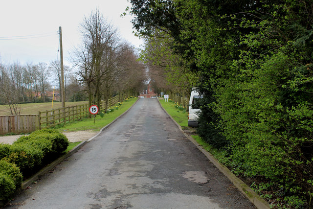
Image: © Chris Heaton Taken: 14 Apr 2016
Access drive leading to the school from the A167 Northallerton/Topcliffe Road. This Quaker Foundation establishment provides residential education for above ability boys who suffer from learning and behavioural difficulties.
Images are licensed for reuse under creativecommons.org/licenses/by-sa/2.0
Image Location
Latitude
54.242533
Longitude
-1.414876