Castle Lodge
Introduction
The photograph on this page of Castle Lodge by Chris Heaton as part of the Geograph project.
The Geograph project started in 2005 with the aim of publishing, organising and preserving representative images for every square kilometre of Great Britain, Ireland and the Isle of Man.

There are currently over 7.5m images from over 14,400 individuals and you can help contribute to the project by visiting https://www.geograph.org.uk
Castle Lodge
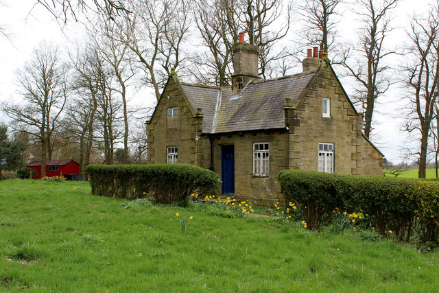
Image: © Chris Heaton Taken: 14 Apr 2016
Lodge located in a small patch of woodland, beside the A167 Northallerton/Topcliffe Road. It guards the entrance to the access lane for Castle Farm, near Kirby Wiske.
Images are licensed for reuse under creativecommons.org/licenses/by-sa/2.0
Image Location
Latitude
54.247668
Longitude
-1.417412