Road to Baljaffray Reservoir
Introduction
The photograph on this page of Road to Baljaffray Reservoir by Chris Upson as part of the Geograph project.
The Geograph project started in 2005 with the aim of publishing, organising and preserving representative images for every square kilometre of Great Britain, Ireland and the Isle of Man.

There are currently over 7.5m images from over 14,400 individuals and you can help contribute to the project by visiting https://www.geograph.org.uk
Road to Baljaffray Reservoir
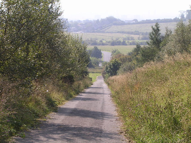
Image: © Chris Upson Taken: 4 Sep 2005
A steep straight hill alongside Windyhill golf course up to Baljaffray Reservoir which is enclosed with barbed wire fences
Images are licensed for reuse under creativecommons.org/licenses/by-sa/2.0
Image Location
Latitude
55.931869
Longitude
-4.362605