Bus turning circle, Eastern Green
Introduction
The photograph on this page of Bus turning circle, Eastern Green by Richard Vince as part of the Geograph project.
The Geograph project started in 2005 with the aim of publishing, organising and preserving representative images for every square kilometre of Great Britain, Ireland and the Isle of Man.

There are currently over 7.5m images from over 14,400 individuals and you can help contribute to the project by visiting https://www.geograph.org.uk
Bus turning circle, Eastern Green
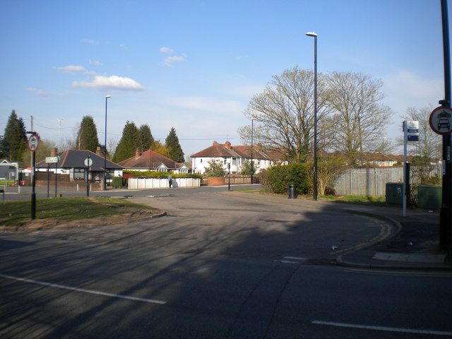
Image: © Richard Vince Taken: 2 Apr 2016
This large turning circle, built into the junction of Banner Lane (foreground) and Broad Lane, used to have something of an identity crisis. Buses terminating here used to show one of two destinations, depending on how they got here: Eastern Green if they approached via Upper Eastern Green and Hockley Lane, or Broad Lane if they arrived via Broad Lane westbound. To confuse things further, the bus stop itself bore the name "Banner Lane Terminus". The only route terminating here currently, the 10, serves Upper Eastern Green and arrives via Broad Lane westbound, and shows Eastern Green.
Images are licensed for reuse under creativecommons.org/licenses/by-sa/2.0
Image Location
Latitude
52.413533
Longitude
-1.597122