Woodland steps to Nant Grwhay, below Grwhay
Introduction
The photograph on this page of Woodland steps to Nant Grwhay, below Grwhay by M J Roscoe as part of the Geograph project.
The Geograph project started in 2005 with the aim of publishing, organising and preserving representative images for every square kilometre of Great Britain, Ireland and the Isle of Man.

There are currently over 7.5m images from over 14,400 individuals and you can help contribute to the project by visiting https://www.geograph.org.uk
Woodland steps to Nant Grwhay, below Grwhay
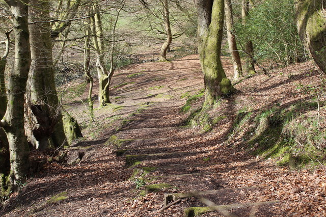
Image: © M J Roscoe Taken: 13 Apr 2016
Flight of steps, public footpath, from the direction of demolished dwellings to a gate next to the stream.
Images are licensed for reuse under creativecommons.org/licenses/by-sa/2.0
Image Location
Latitude
51.68639
Longitude
-3.184241