New Footpath in Silsden
Introduction
The photograph on this page of New Footpath in Silsden by David Grimshaw as part of the Geograph project.
The Geograph project started in 2005 with the aim of publishing, organising and preserving representative images for every square kilometre of Great Britain, Ireland and the Isle of Man.

There are currently over 7.5m images from over 14,400 individuals and you can help contribute to the project by visiting https://www.geograph.org.uk
New Footpath in Silsden
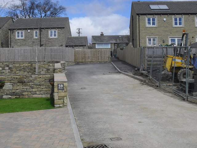
Image: © David Grimshaw Taken: 16 Apr 2016
The picture is taken on the Middleway Meadows new housing development at the top of daisy hill.. Until about 12 months ago this was a green field site.
Images are licensed for reuse under creativecommons.org/licenses/by-sa/2.0
Image Location
Latitude
53.913811
Longitude
-1.930939