The Old Bangor Road, Conlig - April 2016(1)
Introduction
The photograph on this page of The Old Bangor Road, Conlig - April 2016(1) by Albert Bridge as part of the Geograph project.
The Geograph project started in 2005 with the aim of publishing, organising and preserving representative images for every square kilometre of Great Britain, Ireland and the Isle of Man.

There are currently over 7.5m images from over 14,400 individuals and you can help contribute to the project by visiting https://www.geograph.org.uk
The Old Bangor Road, Conlig - April 2016(1)
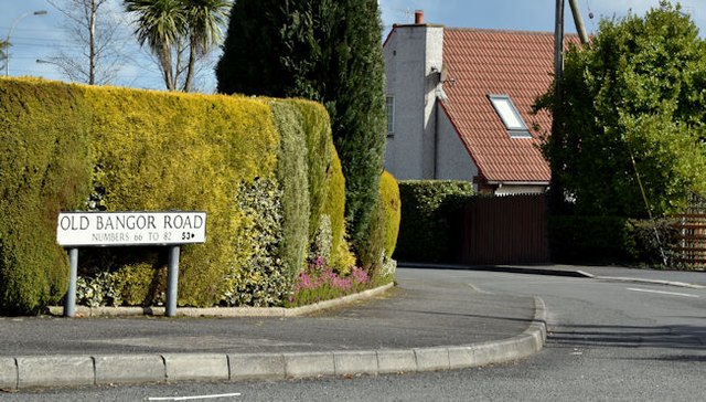
Image: © Albert Bridge Taken: 16 Apr 2016
The Newtownards – Bangor road was dualled in the 1970’s with the Conlig bypass opening in 1975. This is the southern end of the original line, now stopped up at the north Image
Images are licensed for reuse under creativecommons.org/licenses/by-sa/2.0
Image Location
Latitude
54.635235
Longitude
-5.677372