"Cut through", Rayleigh
Introduction
The photograph on this page of "Cut through", Rayleigh by John Myers as part of the Geograph project.
The Geograph project started in 2005 with the aim of publishing, organising and preserving representative images for every square kilometre of Great Britain, Ireland and the Isle of Man.

There are currently over 7.5m images from over 14,400 individuals and you can help contribute to the project by visiting https://www.geograph.org.uk
"Cut through", Rayleigh
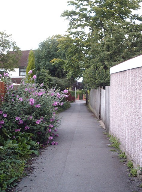
Image: © John Myers Taken: 10 Jul 2007
A common feature of the town - pedestrian walkways connecting one area of "development" with another or with the town proper while not sacrificing valuable building land to roads. This one links Hilltop Close to Castle Road.
Images are licensed for reuse under creativecommons.org/licenses/by-sa/2.0
Image Location
Latitude
51.582916
Longitude
0.603993