Zigzag markings on Saron Road, Bynea
Introduction
The photograph on this page of Zigzag markings on Saron Road, Bynea by Jaggery as part of the Geograph project.
The Geograph project started in 2005 with the aim of publishing, organising and preserving representative images for every square kilometre of Great Britain, Ireland and the Isle of Man.

There are currently over 7.5m images from over 14,400 individuals and you can help contribute to the project by visiting https://www.geograph.org.uk
Zigzag markings on Saron Road, Bynea
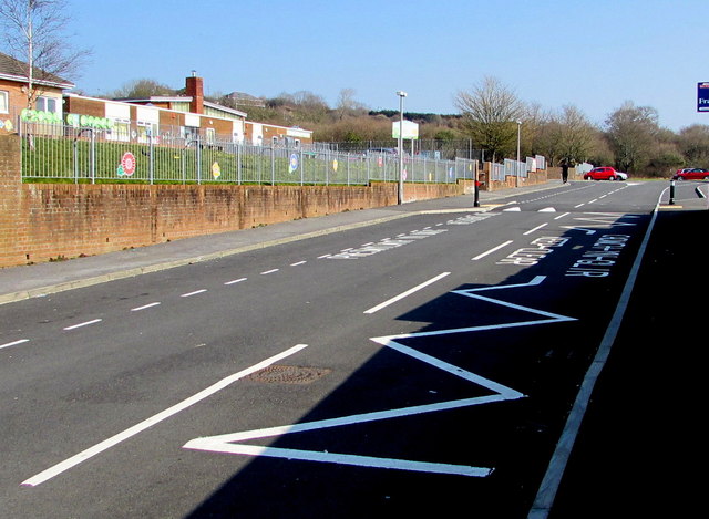
Image: © Jaggery Taken: 17 Mar 2016
Marking a Keep Clear Zone outside Ysgol y Bynea/Bynea Primary School. http://www.geograph.org.uk/photo/4908915
Images are licensed for reuse under creativecommons.org/licenses/by-sa/2.0
Image Location
Latitude
51.674783
Longitude
-4.103347