Tanygraig Road bus stop and shelter, Bynea
Introduction
The photograph on this page of Tanygraig Road bus stop and shelter, Bynea by Jaggery as part of the Geograph project.
The Geograph project started in 2005 with the aim of publishing, organising and preserving representative images for every square kilometre of Great Britain, Ireland and the Isle of Man.

There are currently over 7.5m images from over 14,400 individuals and you can help contribute to the project by visiting https://www.geograph.org.uk
Tanygraig Road bus stop and shelter, Bynea
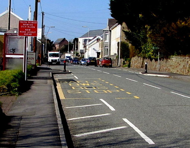
Image: © Jaggery Taken: 17 Mar 2016
This side of the road for buses to Llanelli. The Llwynhendy boundary sign http://www.geograph.org.uk/photo/4908474 is behind the bus shelter.
Images are licensed for reuse under creativecommons.org/licenses/by-sa/2.0
Image Location


Leaflet Map data © OpenStreetMap
Latitude
51.675506
Longitude
-4.108154