Harland Way - Wetherby triangle
Introduction
The photograph on this page of Harland Way - Wetherby triangle by DS Pugh as part of the Geograph project.
The Geograph project started in 2005 with the aim of publishing, organising and preserving representative images for every square kilometre of Great Britain, Ireland and the Isle of Man.

There are currently over 7.5m images from over 14,400 individuals and you can help contribute to the project by visiting https://www.geograph.org.uk
Harland Way - Wetherby triangle
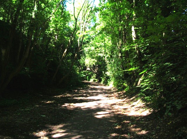
Image: © DS Pugh Taken: 7 Jul 2007
The Harland way is a cycle route built by Sustrans on the former Harrogate to Tadcaster railway. This is a section of the Wetherby triangle. Ahead leads towards Harrogate; behind used to be to Garforth, but now only leads to a car park.
Images are licensed for reuse under creativecommons.org/licenses/by-sa/2.0
Image Location
Latitude
53.934239
Longitude
-1.393454