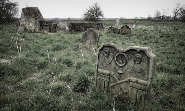
St. John's Church, High Worsall
Introduction
The photograph on this page of St. John's Church, High Worsall by Mick Garratt as part of the Geograph project.
The Geograph project started in 2005 with the aim of publishing, organising and preserving representative images for every square kilometre of Great Britain, Ireland and the Isle of Man.
There are currently over 7.5m images from over 14,400 individuals and you can help contribute to the project by visiting https://www.geograph.org.uk

Image: © Mick Garratt Taken: 14 Apr 2016
High Worsall is not quite a kilometre away from Low Worsall. Both were mediaeval settlements with High Worsall being the more significant but the village was abandoned in the 15th century when plagues, poor harvests and raiding by the Scots decimated the population. High Worsall never recovered to beyond a farm and small hamlet. The ruin of St John’s Church stands alone in a field looking over the deserted village which was the subject of a Time Team TV programme in 1997. It’s still available on YouTube.

