Former Baptist Chapel, Barrowden
Introduction
The photograph on this page of Former Baptist Chapel, Barrowden by Alan Murray-Rust as part of the Geograph project.
The Geograph project started in 2005 with the aim of publishing, organising and preserving representative images for every square kilometre of Great Britain, Ireland and the Isle of Man.

There are currently over 7.5m images from over 14,400 individuals and you can help contribute to the project by visiting https://www.geograph.org.uk
Former Baptist Chapel, Barrowden
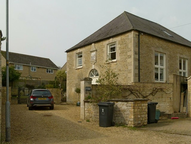
Image: © Alan Murray-Rust Taken: 11 Apr 2016
Dated 1819 http://www.geograph.org.uk/photo/4908230, coursed stone rubble with ashlar dressings and Welsh slate hipped roof. Converted early 21st century to residential use, Listed Grade II.
Images are licensed for reuse under creativecommons.org/licenses/by-sa/2.0
Image Location
Latitude
52.591612
Longitude
-0.602008