20 Chapel Lane, Barrowden
Introduction
The photograph on this page of 20 Chapel Lane, Barrowden by Alan Murray-Rust as part of the Geograph project.
The Geograph project started in 2005 with the aim of publishing, organising and preserving representative images for every square kilometre of Great Britain, Ireland and the Isle of Man.

There are currently over 7.5m images from over 14,400 individuals and you can help contribute to the project by visiting https://www.geograph.org.uk
20 Chapel Lane, Barrowden
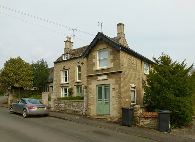
Image: © Alan Murray-Rust Taken: 11 Apr 2016
The main house is dated 1823 http://www.geograph.org.uk/photo/4908228, the nearer wing being a late 19th century addition; coursed stone rubble with ashlar dressings and Collyweston stone slate roof, Listed Grade II.
Images are licensed for reuse under creativecommons.org/licenses/by-sa/2.0
Image Location
Latitude
52.590897
Longitude
-0.602326