View towards Coverwood
Introduction
The photograph on this page of View towards Coverwood by Stefan Czapski as part of the Geograph project.
The Geograph project started in 2005 with the aim of publishing, organising and preserving representative images for every square kilometre of Great Britain, Ireland and the Isle of Man.

There are currently over 7.5m images from over 14,400 individuals and you can help contribute to the project by visiting https://www.geograph.org.uk
View towards Coverwood
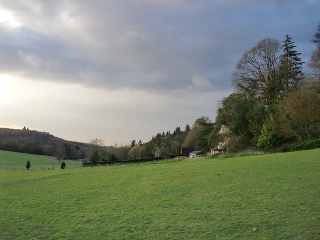
Image: © Stefan Czapski Taken: 13 Apr 2016
Coverwood is the name both of the wood that runs along the valley side, and also of a large house (not visible from this angle). Photo taken from the Greensand Way.
Images are licensed for reuse under creativecommons.org/licenses/by-sa/2.0
Image Location
Latitude
51.177011
Longitude
-0.434197